Sunday, December 29, 2019

Joshua Tree in the Snow

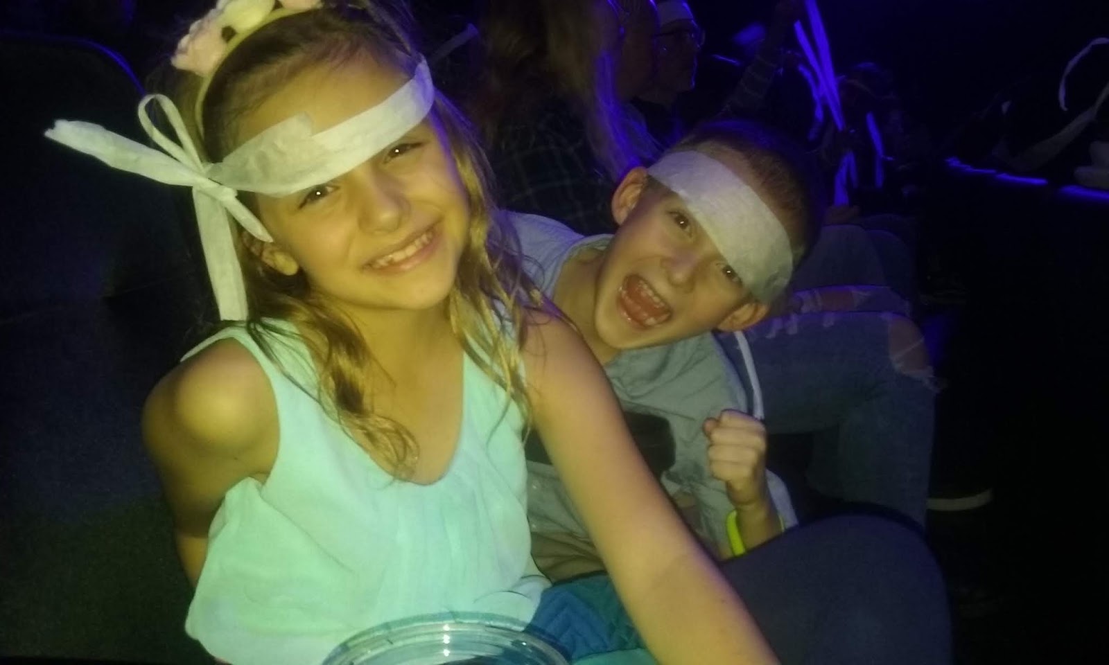
It was winter break and we were going to take advantage of having a week off to make a short trip out to California. It started with a night in Vegas to see the Blue Man Group. The weather was absolutely awful with just buckets of rain pouring down. In Vegas, it does not matter too much because we were mostly inside except for the part where we have to move back and forth from our car. Where it did impact us was the next day when we tried to drive to Joshua Tree. We should have only had a 3 to 4 hour drive.
Leaving at 9:00 AM this would have left us plenty of time to do some hikes in Joshua Tree. Unfortunately for us, though, the interstate had been closed the night before in Primm which led to a massive pileup of automobiles in Primm, Nevada.
A drive that normally would have taken us half an hour, took us over an hour and a half just to get to Primm. Then, when we finally made our turn, the road into the Mojave Desert Preserve was closed. This made us completely switch our driving direction and instead cut over to Needles, CA, then down to I-10 to come into Joshua Tree from the south. It sounds simple enough, but it was literally all day. We finally got to our campsite in Joshua Tree at approximately 4:00 pm. Given that we were still pretty close to the shortest day of the year, this meant that we were going to have to leave almost immediately to get out on a hike. Luckily, there was a short loop hike right near our campsite called the Mastodon Mine trail.
The lighting turned out to be fabulous and we took many photos as we watched the sun go below the clouds. The trail itself was good and we got to see all the interesting rock formations of Joshua Tree. There were still other people out and about which was sort of surprising given how late that it was. We could tell that this park was going to be pretty busy by that. We were able to make it back to our campsite before it got too dark, but everything else we did that night was in the dark. Setting up the tent, cooking dinner, eating dinner, hanging out, were all done in the dark. It was needless to say an early night to bed because it was also fairly cold.
The wind was blowing too and honestly I was exhausted from the driving that day. The kids and Jacqueline slept in the car that we had decked out with a nice comfy mattress whereas I got to enjoy the four person tent with lots of extra space. I slept great and the next morning after finally getting the rest of the crew moving was also delayed by the fact that we had to relocate our campsite given that I was not able to book the same campsite two days in a row. After we got everything resettled, our plan was to go enjoy the part of the park that we had missed with our long drive the previous day.
The park had other plans for us, though, because as we approached the higher elevations of Joshua Tree, we realized that they had received a massive amount of snow the same day that the Interstate was shut down near Primm. There were still 8-12 inches of snow in many places. This was going to impact us because we did not have the clothing options to go tramping around in the snow for the day. It also impacted us because there was absolutely nowhere to park. We finally found a parking spot near a road and we decided that our best bet was to just walk this road for a while.
 It was good, but also really muddy and there were still foolish people that seemed to want to drive their cars down this obviously not in good shape road. This was a climbing area in the park and we even saw one group of climbers braving the elements. We walked until we saw that this road was probably just to access some park housing which was at the end of it and then walked back to our car. It was pretty fantastic seeing the Joshua Trees buried in snow, but as far as getting our for a hike, this was not ideal. We decided to make our way back to our campsite, stopping briefly to complete a short loop at the Cholla Gardens.
We were once again approaching dusk when we decided to go back toward the trail that we had done the previous night, but instead head out on a different trail. This one went toward the Lost Palms Oasis. We did not make it to the end of the trail, but we were happy that we got to stretch our legs and probably made about 2 hours of hiking. We asked some people who had done the whole hike and it sounds like there were a bunch of palm trees at the end. The wild palms were so much neater than the groomed city palms.
These were just so massive and wild looking. We had to turn around because of daylight, but we did enjoy another evening in camp. This one was cold enough that frost formed on the outside of the tent and on the inside windows of the car. We got going early in the morning for a drive out to Santa Barbara to meet up with our friends. Joshua Tree was a good place, though, I think visiting it again without the piles of snow may give us a different perspective in the future. 
Sunday, December 22, 2019

Yellow Knolls to Black Gulch


It started out simple enough. It was Jacqueline's birthday and while we had explored other options for family activities, she chose to go on a hike as long as we postponed our Vegas show idea until we were down there a couple of days later. I had just purchased a new map of the Red Cliffs Desert Reserve, so I was excited to go check out a few trails that I had never been to off the Cottonwood Road. This road went right from a spot in between Washington and St. George. It started out paved put quickly became a whitish clay. Luckily it had not rained in a few days, so the road was in good condition and we found our way to the Yellow Knolls trailhead.
The hike looked great as we started out in the flat desert scrub, but almost immediately went downhill into a canyon with slick rock to our right. Unfortunately, I had forgot that I left my phone charging in the car, so I had to turn around and run back to the trailhead while Jacqueline hiked with the kids. Luckily, I had been running often at this time, so the jog was not too bad. When I got back to the family, we were well on our way through this canyon that now began to slowly climb uphill. The trail was in good condition and easy to find and it just sort of meandered uphill. Given that it was Jacqueline's birthday, she got to take her sweet time getting ready in the morning, so this hike did not start until 2 pm.
 This would come in to play later, but for now we enjoyed some excellent weather and some amazing views. The highlight of the Yellow Knolls trail is the slick rock that is fractured to create pentagon and hexagons that look like the scales of some giant extinct dinosaur. We had to take a side trip so that we could get some pictures and so the kids could climb up and down on the rock. Zyla gets more and more interested all the time in exploring. After we left that spot, it was just hiking the rest of the trail until we hit a junction above. We had a choice. We could either continue on this current trail up to the high point and turn around coming back the same way that we came or we cut turn it into a loop with Black Gulch.
Everyone seemed up for the loop hike, so we headed toward the road which we crossed before coming to a canyon starting to appear on our left. I suggested we cut down immediately, while Jacqueline said that did not make her feel comfortable. Instead, we continued until we crossed the wash. Then we immediately started down. I should have known that this was going to be a bit more adventurous than I planned when it was slow going from the beginning. There were also no signs and the only way I knew I was in the right place was the map and my watch that was a new toy but also showed me a map right at my wrist.
Soon, we knew we were in for it though, because Black Gulch was just absolutely filled with tumbleweeds. Given that we had our two children with us, this made for some slow going because the tumbleweeds were sometimes over their heads. Looking at the time on my watch, I knew that we were in for an experience because this was the second shortest day of the year and it was now after 4 pm. We had only an hour to make our way through this canyon that we did not know what would be around the next corner. Sometimes it was puddles of icy water. Sometimes it was down climbs through volcanic rock.
No matter what, I knew that the person that would take the blame if anything happened to anyone else on this hike was me. So I went first and I found a way down. I would position myself so that I could hand the kids across drop offs and over tumbleweeds. There were a couple of times that I came around a corner and thought that we had come to a point that we could not get down, but every time, there seemed to be a way. The worst I had it the whole time was once when I had to step into a pool of water and lift everyone else so that they did not have to. Twice I made a bigger step then I planned given the amount of tumbleweeds which could have given me an injury.
Only once did Jacqueline start to panic and say that she wanted to try to hike out up onto the cliffs. I was willing to go, but the best course of action was for us to continue downstream without a headlamp and hope that the approaching darkness would not overtake us. Eventually the canyon started to open up. Just about that time we ran into two slow moving men who were heading up canyon. We did our best to warn them that they should probably turn around.
Tough to listen to a family with two children under the age of 10, but I think our kids are actually pretty tough to move as quickly as we did through that canyon. The biggest complaint was the amount of cheat grass in the shoes that slowed down Conrad. We did not give him much sympathy, though, as we had to keep moving. The GPS on my watch told us the trail was near and soon we found the way out. We hiked up the steep cliff and out onto the plateau and there was our car just as the last hints of daylight were receding. We were all relieved and celebrated with a trip to Benja's for dinner.


Friday, October 18, 2019

Below Burnt Mountain

I love maps because a new hike can be found just by studying the map for long enough. I have a huge map of Zion that I got from the Visitor Center when it was replaced with a newer, updated version. It bounced around in my various residences over the years, but eventually it has found its home in my garage where I pull the car in and out every day going to and from work. Sometimes I stop to study it and on one of those days recently, I discovered that there was this canyon located above Hop Valley that went right to the base of Burnt Mountain. Having never visited there or heard anything about it, I decided that I must go.
When I awoke in the morning, I studied Google Maps also. The satellite view gives such immense detail that I even questioned whether I should attempt the hike. I could already tell that the hike was not only possible, but looked like it wasn't going to be too difficult. After a while of dragging my feet, I decided to go for it. I packed up my backpack and headed out for the Hop Valley Trailhead. I was the first car who arrived there at 9 AM. I started down the trail until I got to the gate. I went through the gate and instead of staying on the trail, I went on a series of roads that were as good as any trail.
The hiking was fairly easy except that the entire way to reach the pass was deep sand. Given that we had not received measurable precipitation in Southern Utah in months, it was very sandy both on the Hop Valley Trail and on the roads. I followed the road as far as it went passing a corral and some water tanks that looked in pretty bad shape. There were no cows around having moved on to greener pastures for the winter. When the road began to die away, there was still a reasonable path that took me to a high point on the pass between these roads and my canyon.
The views were great from up there where I could see all the way into the La Verkin Creek drainage and the peaks of Red Butte and Burnt Mountain. I decided to descend right at the head of the canyon that left from the pass. It turned out to be the right decision. Even though there was a bunch of bushwhacking and route finding to do, the way turned out to be fairly easy with no significantly difficult spots. I got to experience quite a bit of the fall colors as many times my way went right in between these trees with yellows, reds, and oranges. I even found some water in the drainage which was surprising given how dry the weather had been.
Eventually this small drainage met up with the larger drainage.  It continued downstream until getting to a confluence with another drainage coming down from Burnt Mountain with many willows, cottonwoods, and even aspens at the confluence. Now it was continuing up to the base of Burnt Mountain. I could not believe how incredibly wide this drainage was and still incredibly sandy. As I got closer to Burnt Mountain, the drainage became narrower and narrower. There were a few places to climb around, but eventually it all ended at a large pour off of about 30 feet. I struggled to call this the end and instead decided to climb up above to get a view.
The way was steep, but not dangerous. I picked my way through the oaks and manzanita before ending the trip under a large tree where I could sit and enjoy my peanut butter and jelly sandwich. It had taken only 3 hours to arrive at this point. From here I could see to the high cliffs extending above Kolob and also to the top of Burnt Mountain. Given that the summit of Burnt Mountain was a Research Natural Area, considering climbing it is not really an option. But if I did, I could see the route that I would take and while it looked challenging, it looked possible. The only recorded climb is by Courtney Purcell who seemed to have climbed most of the peaks in and around Zion about 10 years ago when writing his book that saw limited time on the shelf.
Well, there was not much left to do, but go back down. Given that it had taken me less time to arrive at this point than I had anticipated, I decided to check out the canyon where my two washes met up to see if possibly there was an easy way down into Hop Valley. I fought my way back down the drainage to the spot where the willows choked the wash. Eventually it opened back up and I followed the wash downstream. There were two places where I had to find my way around pour offs always making sure there was no jumping down given that it was highly likely that I would be climbing back up. My mind always entertains the notion of having found an easier way, but when the canyon eventually came to a narrow spot with a 100 foot pour off, I knew that I had found the end of my journey down this canyon. It presented another opportunity for those canyoneers who wanted to get a first descent. It seems that every time I say that I turn out to be wrong, but on this one there did not seem to be any signs of other humans having been in this drainage before. In fact, it really did not seem like anyone had been in this canyon below Burnt Mountain before. The only signs of other humans being the two balloons that I found. Stop releasing balloons! Gravity still works.
I turned around and went back up with little difficulty. There were many opportunities to find a new way or a new exploration. I went into a few narrow spots to see if I could see any owls. Lots of droppings, but no owls. Instead it was up the same canyon I came down and back to the car. It was smooth sailing the whole way and in fact, when I turned around at the stopping point in the canyon heading into Hop Valley, I predicted what time I would get to my car. I guessed 3:30 which seemed fairly impossible given how far away that I was. Sure enough, though, after putting in many sandy miles, I arrived at the car at 3:26 pm. It was a great trip and I am sure that I will go back to the area to explore other off trail opportunities. The route was not difficult and the views were amazing. It was also incredibly quiet on a weekend when it seemed like everyone and their cousin were descending on Zion and the surrounding area. I had once again discovered another quiet place in Zion.